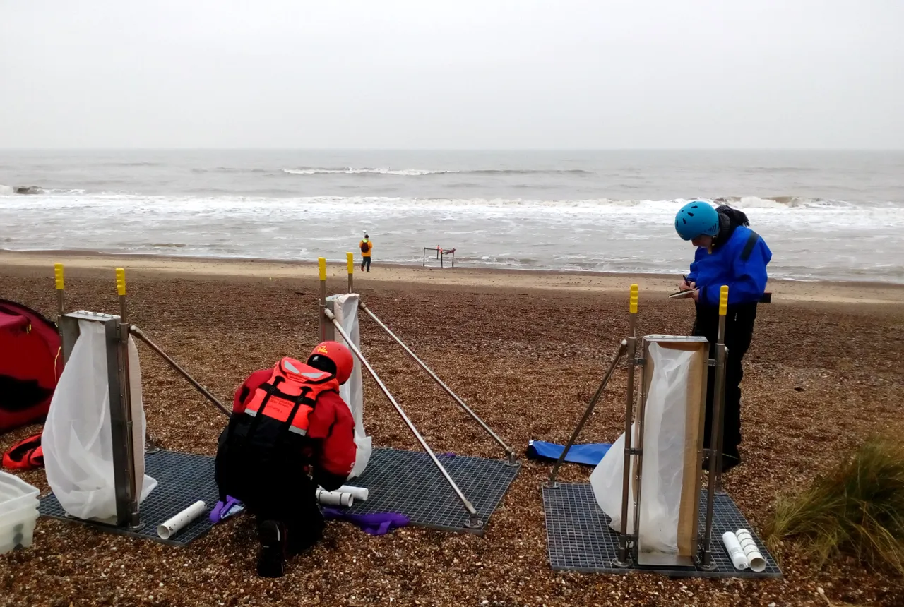

Gravel dominated beach and barrier systems are common around the UK and provide important coastal defences, especially in low-lying regions.
A new, four-year research project, funded by the Natural Environment Research Council (NERC), entitled Gravel Barrier Coasts (GBCoasts), will deliver enhanced understanding of and modelling of gravel barrier systems.
The project aims to support more sustainable coastal management, by increasing resilience and reducing the vulnerability of coasts to climate change.
The British Geological Survey (BGS) will use a new community modelling system – Coastal Modelling Environment (CoastalME) – along with terrestrial, marine and groundwater models, to characterise how a combination of processes along gravel barrier coasts control coastal flooding and erosion. CoastalME will produce numerical simulations to support multi-hazard analyses under present and future climate change scenarios.
These will project how, over a range of timescales, multi-hazards will respond to predicted climate change processes and impacts, how humans are both affecting future hazards and how we will be affected under different coastal management scenarios; for example, how do gravel barriers respond to individual events, such as storms, in the context of longer-term, ‘progressive’ trends, such as sea-level rise.
The results will support improved coastal management decision making based on the improved understanding of how gravel barriers evolve over longer time scales under different climate condition and human intervention scenarios…Read more